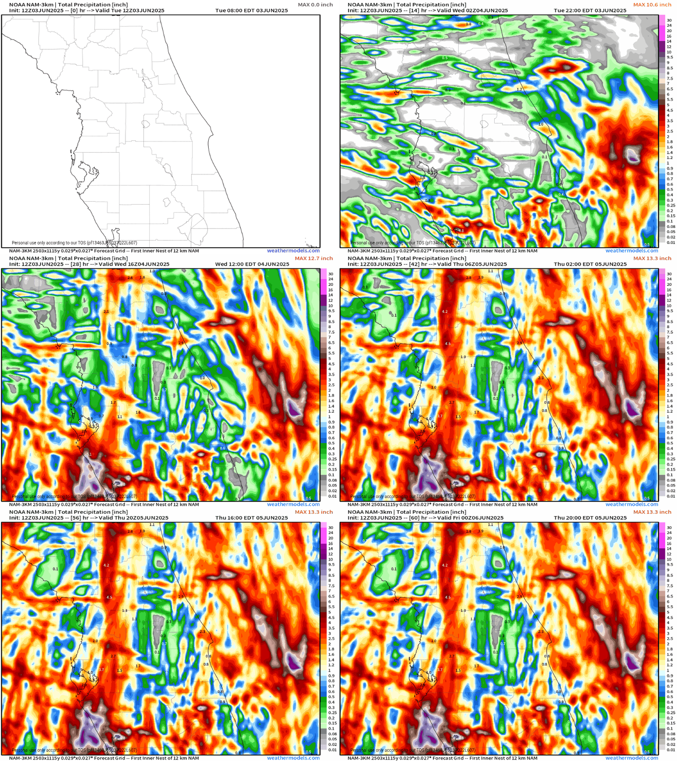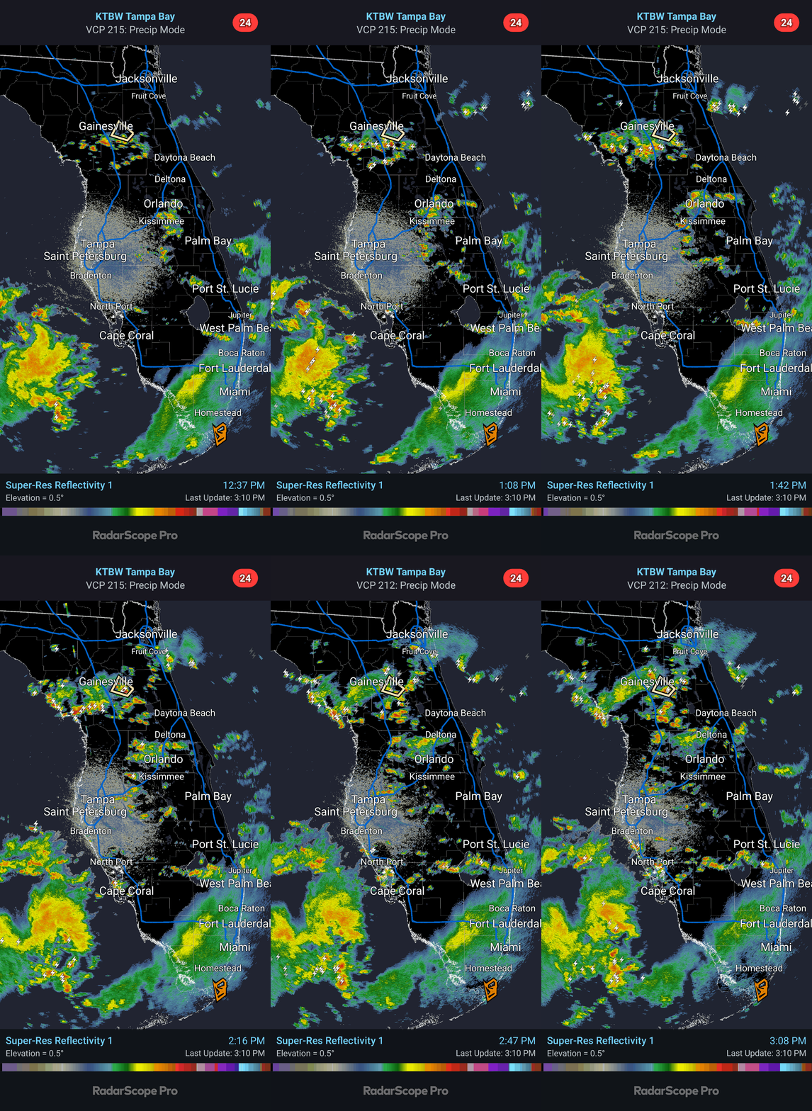

A stalled upper-level low is gripping the Florida peninsula. This system is setting the stage for showers and thunderstorms at nearly any time over the next couple of days.

Today’s primary concern is localized heavy rainfall, particularly along Florida’s west coast and in urban areas. While the ground isn’t fully saturated yet, heavy downpours could lead to urban flooding in low-lying spots and areas with poor drainage.

The Southwest Florida region faces the highest rain chances and greatest accumulations over the next couple of days. As we move toward the late week, the low is expected to lift slightly northward, possibly reaching the coast of the Carolinas. However, much of the Florida peninsula will remain in a warm, humid airflow feeding into the center of the low, keeping elevated rain chances in the forecast through much of the workweek.

Looking ahead, a typical summer weather pattern may emerge by next week, returning to a more regular schedule.
Until then, stay prepared for wet conditions. Keep your umbrellas handy and drive safely.

